Tapping into land potential for urban development along Ring Road 4
Tapping into land potential for urban development along Ring Road 4
Leveraging its vast land resources, the urban zones flanking Ring Road No.4 have the potential to materialize the vision of creating green urban spaces and smart cities within the Capital Region.
The ongoing adjustment of the Capital's General Planning to 2045, with a vision to 2065, aims to refocus urban development along Ring Road No.4. This involves optimizing land value after investments in road infrastructure and creating development opportunities for local areas in the short and long term.
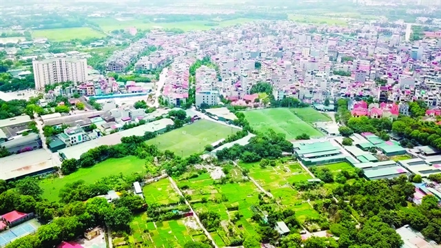
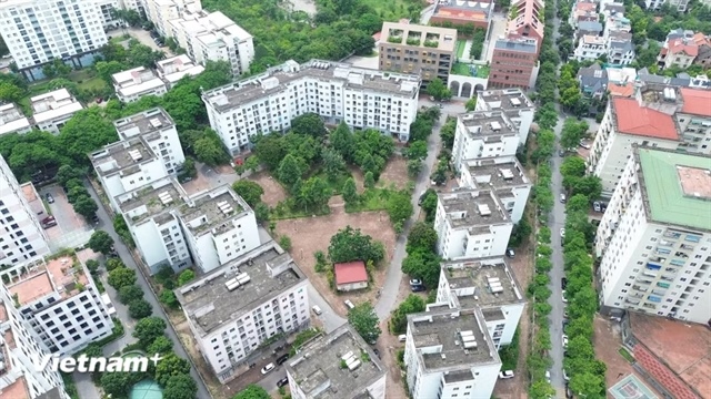
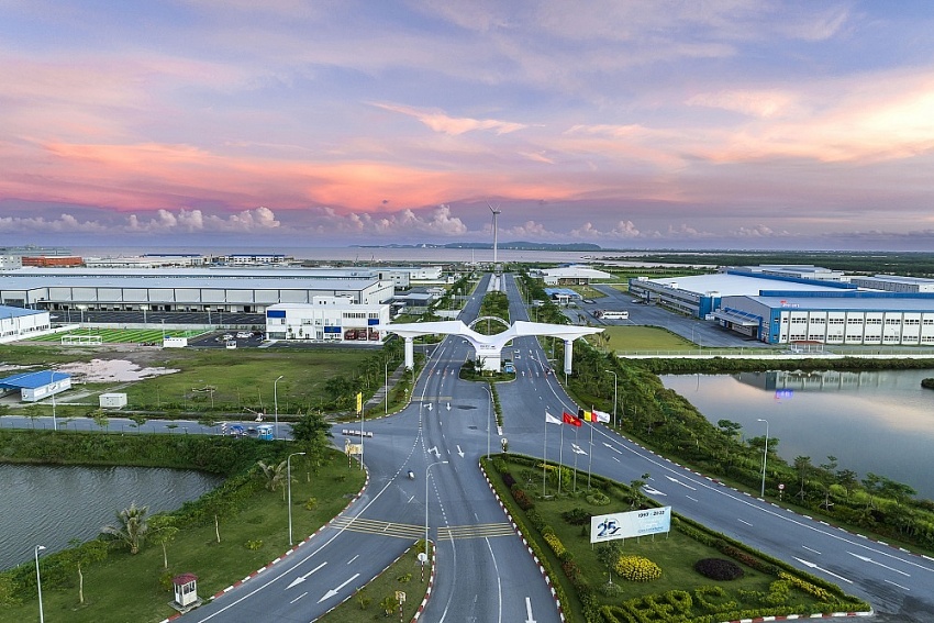
Ha Dong District, part of the Ring Road No.4. Photo: Thai Nguyen/The Hanoi Times |
Under the General Planning for the construction of the Capital up to 2030, with a vision to 2050 (QHC2011), the eastern urban chain along Ring Road No.4 is bounded by the Red River in the north (passing through Dan Phuong District), Ring Road No.4 in the west, the Red River through Thuong Tin District in the south, and the Nhue River green belt in the east.
The projected population for this area is approximately 1.2-1.4 million by 2030, with a maximum of 1.7 million by 2050. The western urban chain of Ring Road No.4 encompasses Dan Phuong, Hoai Duc, Ha Dong, Thanh Oai, and Thuong Tin.
This new development zone, separated from the metropolitan area by the Nhue River green belt and bounded by green wedges in Dan Phuong, Hoai Duc, An Khanh, Ha Dong, and Thanh Tri, is designated for urban housing, services, trade, finance and banking, entertainment, and features national cultural and historical sites.
The plan also emphasizes creating modern urban areas with well-integrated technical and social infrastructure systems to support residential, public, and office activities. Adequate land is allocated for relocation from the inner city and various projects in the green belt and green wedge. Ring Road No.3.5 connects this chain of urban developments, and at its intersections with radial traffic axes, urban development will be built following the Transit-Oriented Development (TOD) model.
However, Deputy Director of Hanoi Urban Planning Institute Nguyen Duc Hung points out that a review of the planning reveals inefficient use of a significant amount of land in this area.
“This is attributed to an unrealistic distribution of the population, resulting in a waste of land resources, which contradicts the goal of modern, cost-effective urban development,” Hung told The Hanoi Times.
He mentioned that the development of cultural, artistic, and entertainment facilities and national and international research and cultural exchange centers along the West Lake - Ba Vi axis has not received sufficient attention.
Meanwhile, progress on the Ngoc Hoi national railway traffic hub has been slow, and there is a lack of open space near the Nhue River for public and entertainment facilities.
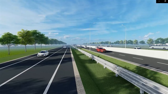
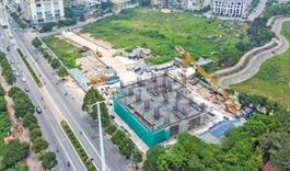
Design of the Ring Road No.4 |
Relocation of population, focusing on compact urban development
In light of the current situation, Hung indicated that in implementing the overall adjustments to the 2011 General Planning for the Capital (QHC2011), there will be a thorough review and redistribution of population in the eastern urban area of Ring Road No.4.
“The aim is to balance population growth with the planned relocation of residents from metropolitan areas to new residential developments, thereby alleviating pressure on the historical downtown area's infrastructure,” said Hung.
Population distribution will ensure a density of more than 12,000/km² to utilize the land fund effectively, particularly in the areas set to become urban districts.
The plan involves expanding urban space to the west and south of Ring Road No.4, forming a new development area on both sides of the road, encompassing Dan Phuong, Hoai Duc, Ha Dong, Thanh Oai, and Thuong Tin.
Architect Pham Hoang Phuong from the National Institute of Urban and Rural Planning, a consulting unit for General Planning adjustments, has outlined the orientation for urban space on both sides of Ring Road No.4.
The focus will be on compact urban development centered around the metropolitan railway station area under the TOD model.
"This approach aims to increase the land use coefficient, which currently stands at around 62%, by utilizing the space and land on both sides of the route to enhance investment efficiency and land value," Phuong told The Hanoi Times.
The plan includes developing westward to the Day River, selecting areas with favorable land conditions, and attracting potential investors.
Additionally, the strategy involves establishing protective buffer zones around existing villages, controlling urbanization, and increasing density in the area. The natural water surfaces of the Nhue and Day rivers will be used to create a comprehensive system of green parks and water features connected to the city's green belt and green corridor system," he said.
In the gateway area of the new development, there are plans to create a large public, service, and commercial center, densified according to the TOD model at national, regional, and urban traffic hubs.
This will involve the construction of low-density, high-rise buildings, ample green space, and improved urban amenities, contributing to a multi-pole, multi-center urban structure. Each urban subdivision will have specific functions, creating sub-centers to relieve the central urban area.
The proposal includes building a large research center by utilizing university land, and dispersing universities into counter-balanced urban and satellite areas while maintaining a central focus in the inner city for new projects.
Phuong said there is an emphasis on maximizing the resources and intellectual capabilities of the medical system in the inner city, forming regional high-tech medical research and development centers such as the Bach Mai Hospital – Hanoi Medical University Hospital – FV Hospital – Saint Paul Hospital cluster.
Preserving plant and animal ecosystems in green wedge areas formed by QHC2011, such as green zones, is a priority. The plan also includes the rejuvenation of urban rivers, such as To Lich River, Nhue River, and Set River, to create green and clean spaces that will help balance the urban environment in the inner city.
The urban restructuring of low-rise residential areas aims to increase the efficiency of urban land use gradually until 2065.
This involves applying the model of renovating houses in community streets to expand internal traffic areas, infrastructure, parks, playgrounds, and, above all, to increase the land rental value of residential areas if implemented by the orientation.
The focus is on prioritizing regional public development and social housing. The strategic location of urban gateways, inter-regional and inter-urban connections will be maximized, forming large TOD cores along Ring Road No.4 to allow for high-density development, creating service and commercial centers and urban-scale entertainment that meet the needs of both central urban and suburban residential areas.
| “Leveraging its extensive land resources, the urban zones flanking Ring Road No.4 have the potential to materialize the vision of creating green urban spaces and smart cities within the Capital Region. However, it is imperative to conduct thorough studies to determine the boundaries between areas designated for urban development and those for ecological preservation. This is particularly crucial for safeguarding existing green belts,” said Dao Ngoc Nghiem, Vice Chairman of the Vietnam Association for Urban Planning and Development. |